Can You Trust Google Maps?
I had just left Pasco, Washington, after stopping at Dollar General for groceries. I was headed out on State Route 124 when I lost my phone signal. Google Maps told me to turn onto Lyons Ferry Road, so I did—but I was already starting to get leery of Google Maps.
I rode until I ran out of daylight. Then I used my headlight until it went dead. I could still barely see the painted lines on the road, but eventually I had to pull over.
The question was: where?
There was nothing around. The only things I could recognize were the fiber-optic manholes, each marked with a reflective pole. The land was flat and open. I pulled over on the side of the road, facing oncoming traffic.
Did I see anything else out there? Nope. It was dark—dark, dark—on that road.
But I could see two very bright lights on a hill somewhere ahead. I could not even see the hill itself. Those lights must have been a mile away or more, but they lit up everything they shone on, all the way down the road.
Everything else around me was just blackness.
I pulled out my sleeping bag, heated up a can of chili I had bought earlier, drank some fluids, and crawled into the bag. I covered up all but my nose and mouth. I knew it was going to be chilly by morning.
About every half hour, a truck would go by. Then one truck came flying past me, stopped, and backed up toward where I was lying.
I almost sat up.
Then he took off, and that was that.
I fell asleep soon after.
I woke up around 5:45 a.m., packed my sleeping bag back into the trailer, and rode for maybe another hour until I came to a T in the road. I went left. Before long, I saw what looked like a KOA campground and then crossed a narrow bridge.
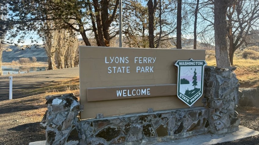
Later, I found out that bridge crossed Lake Herbert G. West, one of the many reservoirs created on the Snake River. After crossing, I came upon Lyons Ferry State Park, built by the Army Corps of Engineers.
The park was not open yet—it was still too early. I rode around the gate and headed down to the restrooms.
Score! Outlets!
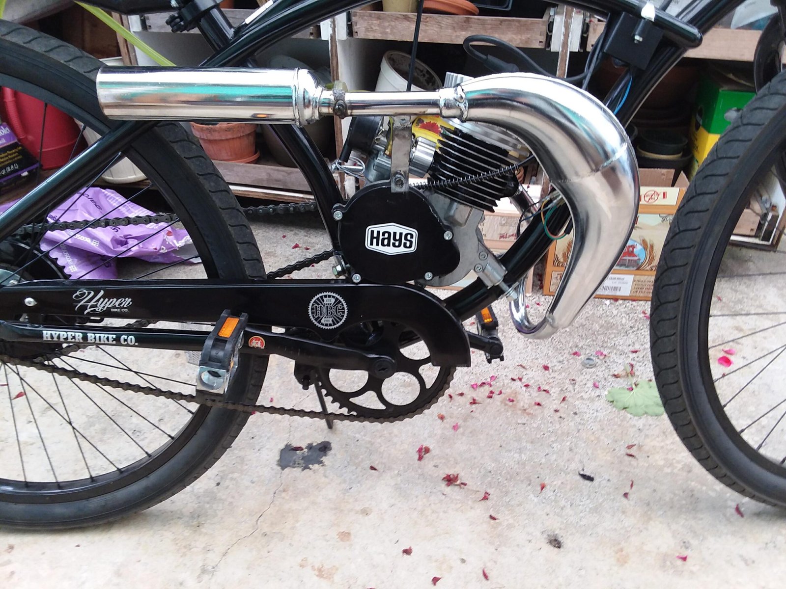
I pulled the batteries off my trike and plugged in the chargers. I wanted to be gone by 8:00 a.m. If the rangers came to open the gate and found me there, I was worried I could end up being accused of trespassing—or worse. So I charged as long as I could, loaded up, and hit the road.
Something told me to go back over that bridge. I’m glad I listened, because the right turn would have taken me even farther the wrong way.
I continued on, basically lost. I had not had phone signal since the night before. But before too long, I came into the little town of Starbuck, Washington—probably a one-horse town.
There was a man sitting on the porch of a building. I noticed the ADA-compliant ramp and asked him, “Is this a restaurant?”
He said, “Yes, it is.”
There was some kind of store across the street, though I am not sure what it was. I went into the restaurant and had biscuits and gravy with a coffee. They had Wi-Fi, but they were not willing to share the password. So I was still lost—but at least my stomach was satisfied.
I kept riding until I came upon another turn.
Yay! I made it back to U.S. 12!
Soon I picked up a 4G signal, then 5G. I must have been close to a tower, and before long I was near another town. I messaged my cousin Debbie and told her I might still make it to her house in Pomeroy that day—if I had enough charge left in the batteries to get there.
That part is another story.
 By
By